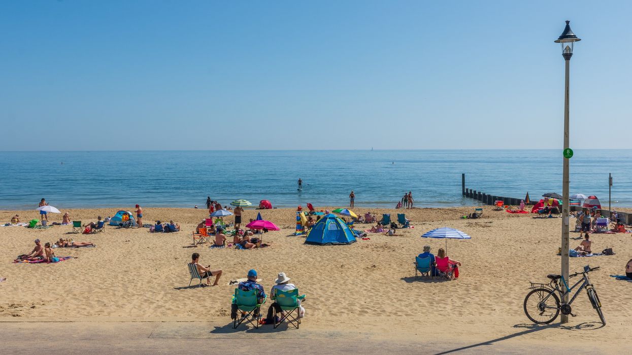

The UK mini heatwave weather forecast indicates a rise in temperatures across parts of the country this week, with the West Midlands expected to see warmer conditions after a damp and breezy bank holiday.
Following a weekend of sunshine and scattered showers, the Met Office has forecast a gradual warming trend across the region, with temperatures reaching up to 17°C in areas such as Wolverhampton, Walsall, Dudley, and Sandwell.
Monday (26 May) began with bright spells across the West Midlands, but clouds and scattered showers soon developed, merging into longer periods of rain in the afternoon. The day remained windy, with top temperatures around 15°C. Overnight conditions turned drier, although winds persisted and the minimum temperature hovered around 10°C.
According to the Met Office, warmer conditions are expected on Tuesday (27 May). A spokesperson said: “After a bright start, clouds will soon thicken from the west with further spells of rain, turning heavy and persistent by the afternoon with stronger winds. Maximum temperature 17°C.”
While Tuesday’s rainfall may continue to impact the region, forecasters are optimistic about improved conditions later in the week. The midweek forecast indicates a changeable pattern, with milder temperatures expected to remain in place. On Wednesday (28 May), residents can expect a mix of sunshine and showers, accompanied by breezy winds. Thursday, 30 May, is likely to be cloudier, with spells of rain and drizzle. On Friday (30 May), the region is forecast to experience longer periods of rain, interspersed with occasional bright intervals.
In its broader UK mini heatwave weather forecast, the Met Office suggests a warming trend across much of the UK heading into early June, although changeable conditions will persist. Frontal systems are expected to move eastwards from the Atlantic, bringing bands of rain and gusty winds. However, some southern and southeastern areas may benefit from drier, sunnier interludes and slightly above-average temperatures.
The warmer spell, though not officially classed as a heatwave, is being referred to as a “mini heatwave” by some meteorologists due to the marked rise in temperatures compared to recent weeks. While no extended period of hot weather is currently expected, forecasters are not ruling out brief warm spells, particularly in early June.
The Met Office has advised the public to remain prepared for sudden shifts in weather, given the UK’s traditionally unpredictable late spring patterns. As the meteorological summer begins, longer daylight hours and rising temperatures are likely to lead to more settled periods, but rain and storms remain possible.
For the latest UK mini heatwave weather forecast updates, residents are encouraged to check the Met Office website and app, particularly for localised forecasts and weather warnings.