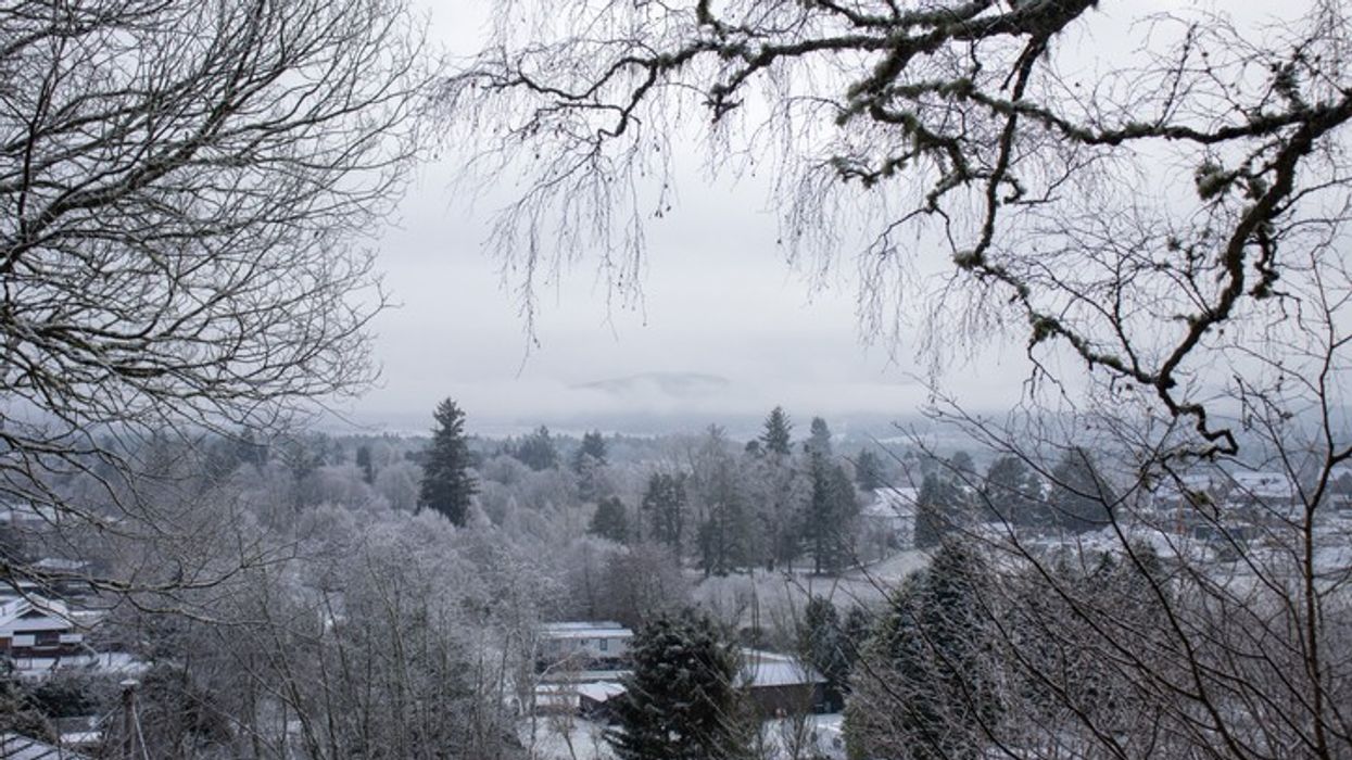

The UK is preparing for a sharp shift in weather, with forecasts predicting snow and heavy rain across parts of England and Scotland in early May. Weather models from WXCharts, using MetDesk data, show widespread unsettled and colder conditions, with maps indicating large areas turning purple and white.
From midnight on Tuesday, 6 May, snow is expected to move into Scotland and gradually spread southwards into northern England. Rain showers are also forecast for southern parts of England, including Birmingham, Manchester, and Newcastle. This change follows earlier reports of a mini heatwave expected to warm the country at the start of next week.
Temperatures are set to fall significantly. In Scotland, places like Inverness could see overnight lows of -3°C. Further south, London is also expected to experience a notable chill, with temperatures likely to drop to around 2°C by Tuesday afternoon.
The Met Office has updated its Long-Range Forecast for 1–10 May, warning that although the month will begin with dry and warm conditions, a transition to more unsettled weather is likely. "Following a widely fine and very warm spell through the week, temperatures are most likely to return back closer to average from the north during Thursday and Friday," the Met Office stated. It added that northern areas could expect cloudier, breezier conditions with rain, followed by a more changeable pattern with showers and even thunderstorms.
In the short term, today’s weather forecast suggests largely cloudy skies with patchy rain mainly affecting western areas, while sunnier spells are expected elsewhere. Northern Ireland is forecast to have a much drier and brighter day.
On Sunday, heavy rain will persist across northwestern parts of the country. However, much of the rest of the UK is set to enjoy a dry and warm day with sunny spells.
Looking further ahead to Monday through Wednesday, high pressure is expected to dominate, bringing dry weather and rising temperatures across England and Wales. However, this brief period of warmth will be followed by a sharp drop in temperatures and an increase in rain and snow towards the middle of the week.
As the country shifts from early summer-like conditions to a return of wintry weather, residents are advised to monitor local forecasts and be prepared for sudden changes in the weather.