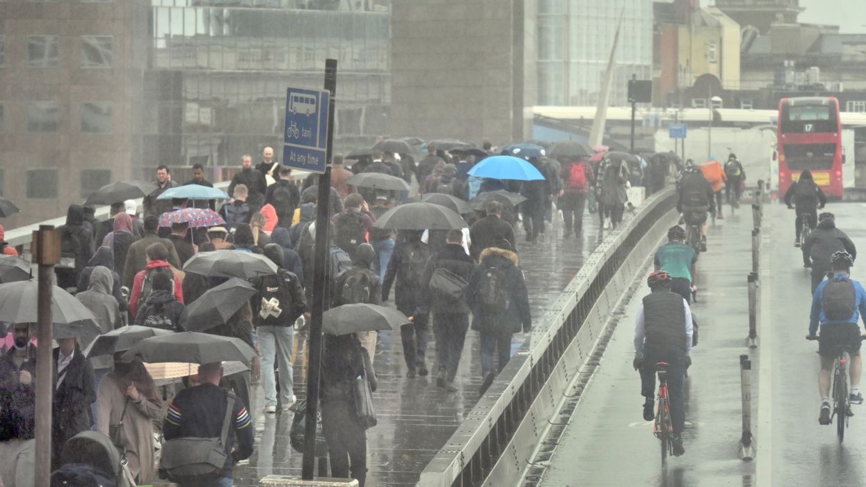

The UK is experiencing widespread rainfall as a 320-mile-long band of wet weather stretches across western parts of England, marking a significant shift from the record-breaking warmth earlier in May.
According to WXCharts data, the rain is sweeping in from the southwest, beginning in Devon and moving northwards through Somerset, Wiltshire, Gloucestershire, Herefordshire, Worcestershire, Shropshire, Staffordshire, Cheshire, and up to Lancashire and Cumberland. The affected areas also include Westmorland, Dorset, Cornwall, and parts of the West Midlands.
This change in conditions comes after a period of unseasonably warm and dry weather, when some areas recorded temperatures approaching 30°C. Temperatures have since dropped sharply in many regions, with some areas experiencing a decline of more than 15°C, as unsettled weather patterns take hold.
The Met Office has advised that this spell of wet and unsettled weather is expected to continue into early June. Current conditions include prolonged rainfall, occasional thunderstorms, and strong winds across several western counties. This development forms part of a broader weather system moving in from the Atlantic, which is expected to influence the UK’s conditions in the coming days.
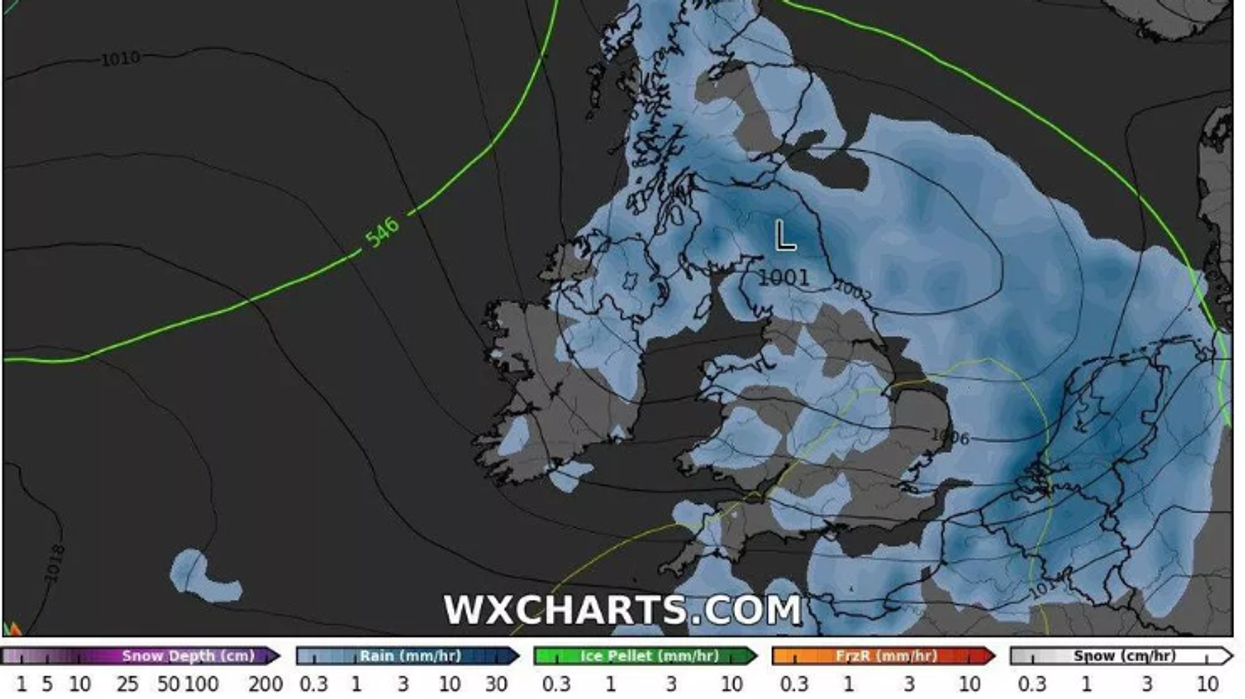 Britons are encouraged to keep waterproof clothing and umbrellas close at handWXCHARTS.COM
A Met Office spokesperson stated: “As we head into the bank holiday weekend and the following week, a change in weather type is expected. More unsettled conditions are likely to develop, with weather systems moving in from the Atlantic.”
The northwest is forecast to be the first area impacted, with frontal systems bringing periods of heavy rain and gusty winds. These conditions are predicted to gradually extend across the UK over the weekend.
Although some regions may experience short-lived sunny intervals, these are likely to be interspersed with showers, some of which could be heavy or thundery. Temperatures are forecast to remain close to seasonal averages but may feel cooler due to persistent wind and cloud cover.
The Met Office added: “Drier and brighter intervals are likely between systems but with showers, some of which could be heavy or thundery. Temperatures will probably be close to average, perhaps slightly above at times, but will feel fairly cool in the often strong winds.”
Looking ahead to the period from 2 to 16 June, the weather outlook remains mixed. Forecasters expect the western regions of the UK to see wetter conditions, while the east may remain relatively drier. Although no prolonged heatwaves are currently predicted, short spells of very warm or hot weather remain a possibility.
The long-range forecast notes: “Overall, it will likely be wetter in the west and drier in the east. Temperatures will probably average out around normal, although some very warm or even hot spells are still possible, as normal for the time of year.”
With the start of meteorological summer approaching on 1 June, the public is being advised to prepare for changeable conditions. The current rainfall pattern is part of what is expected to be an unsettled end to May, particularly for those in western counties.
As the bank holiday weekend nears, Britons are encouraged to keep waterproof clothing and umbrellas close at hand, as further wet and windy spells are expected to affect much of the country.