
- Met Office yellow snow warning in place until 11am
- Up to 15cm of snow expected above 300 to 400 metres
- A74(M), A66 and M62 could face disruption
- Cold health alerts for northern England until Thursday
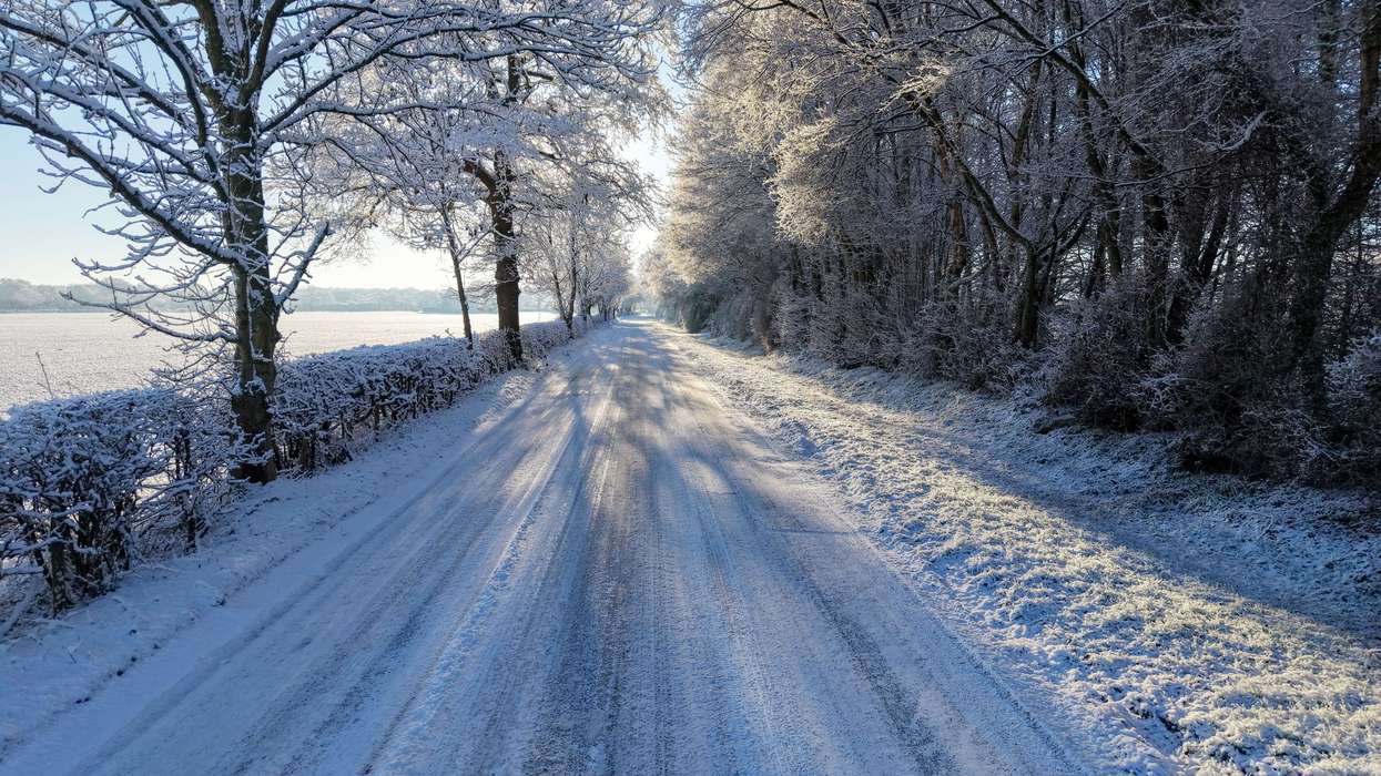
PARTS of northern England and southern Scotland have had an early taste of winter, with snow falling on hills on Tuesday morning.
A Met Office yellow warning for snow is in place until 11am, with 5 to 15cm expected in places above 300 to 400 metres.
Major routes including the A74(M), A66 and M62 could be disrupted, and some rail services are likely to face longer journey times, the BBC reported.
Which areas face snow, icy roads and travel disruption this week?
The UK Health Security Agency has also issued cold health alerts for northern England until 9am on Thursday.
What is causing the snow?
A weather front moving across the UK has met colder, drier air over northern England. Some of the rain has evaporated in the dry air, cooling it further, so rain has turned to snow over the Pennines, the Cumbrian hills and Scotland’s Southern Uplands.
Met Office rejects claims UK will be ‘smashed’ by snow and freezing temperatures
The wet, heavy snow could stick to power lines and trees. Combined with gusts of 40 to 50mph on high ground, it could bring down branches and cause localised power cuts.
How long will it last?
Between 1 and 5cm could settle as low as 100 metres, but snow on lower hills is likely to turn back to rain by mid-morning. Higher ground may see wintry weather into the afternoon.
The south will be milder, with sunshine, blustery showers and temperatures up to 14C. Drier, sunnier and colder weather is expected to spread across most of the UK by the end of the week, with overnight frosts






 Prince and Princess of Wales, pose for a picture with the Earthshot Prize ambassadors Robert Irwin and Nomzamo Mbatha, and actor Simone Ashley as they arrive to attend Children's Earthshot at the Museum of Solutions, in Mumbai, November 17.Reuters