
Highlights
- Met Office issues yellow weather warnings for rain and thunderstorms
- Northern Ireland could receive up to 75mm of rainfall in under 18 hours
- Flooding, power cuts, and travel disruption likely across affected areas
- The alert follows a recent heatwave and hosepipe bans across parts of England
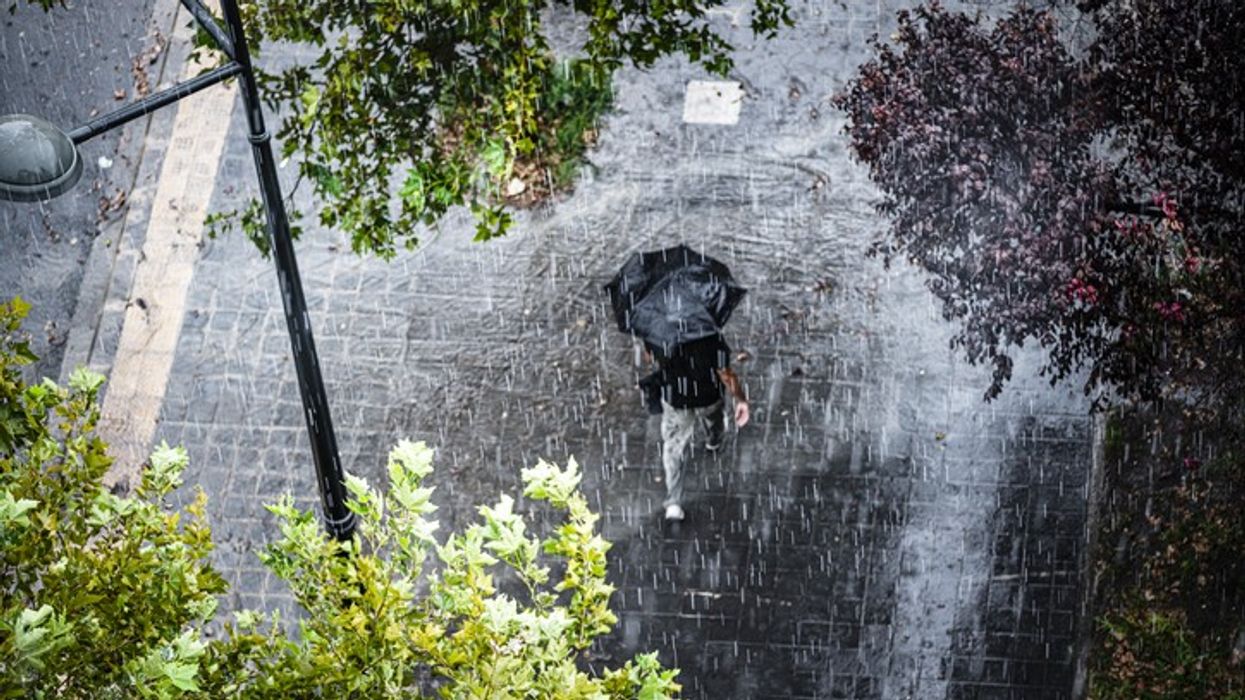
Half a month’s worth of rain could fall over parts of the UK within the next 24 hours, according to the Met Office. Yellow weather warnings for rain and thunderstorms were issued on Sunday across Northern Ireland, Scotland, and regions of England. The heaviest rainfall is expected in Northern Ireland, where up to 75mm could fall in just 12 to 18 hours — nearly the equivalent of half the region’s average monthly rainfall for July. Further warnings are in place for Monday, with potential disruption including flooding, power cuts, and delays to public transport.
Northern Ireland likely to see most impactful rainfall
Simon Partridge of the Met Office said Northern Ireland is forecast to receive the most substantial and impactful rainfall, with some areas expected to record between 50mm and 75mm. As Northern Ireland averages 89mm of rainfall in July, this could amount to over half the typical monthly total in less than a day.
A yellow weather warning was issued for eastern parts of the region from 6pm Sunday to 6pm Monday. Flooding and travel disruption are anticipated, with potential risks to property and infrastructure.
Warnings extended across England and Scotland
The Met Office expanded yellow thunderstorm warnings to additional parts of the UK for Monday. From 3am to 9pm, areas across the south and east of England are under alert, while from 11am, the Midlands, northern England, and Scotland will also be affected.
In parts of England and Scotland, rainfall totals could reach 20-40mm within two hours. Such intense rainfall increases the likelihood of flash flooding, particularly where ground conditions remain dry after recent heatwaves.
Travel and safety disruption expected
More than 10 flood alerts remain active in Scotland, and the Met Office has warned of possible delays or cancellations to train and bus services. There is a small risk of power outages and localised deep or fast-moving floodwater, posing a danger to life in extreme cases.
Climate conditions contributing to severe weather
The increased severity of rainfall is linked to human-driven climate change, particularly across Europe. Warmer atmospheric conditions hold more moisture, leading to more intense and frequent extreme weather events.
The heavy rain follows the UK’s third heatwave of the year, which left four regions in England in official drought conditions and prompted multiple hosepipe bans. Parched soil, caused by prolonged dry spells, can increase the risk of surface flooding as it struggles to absorb water efficiently.