
Key points
- Met Office forecasts rising temperatures by mid-July
- Possible third heatwave after record-breaking June
- High pressure system likely to bring hot air from the Atlantic
- Yellow rain warning and flood alerts issued in parts of Scotland and Cumbria
Possible heatwave to return by mid-July
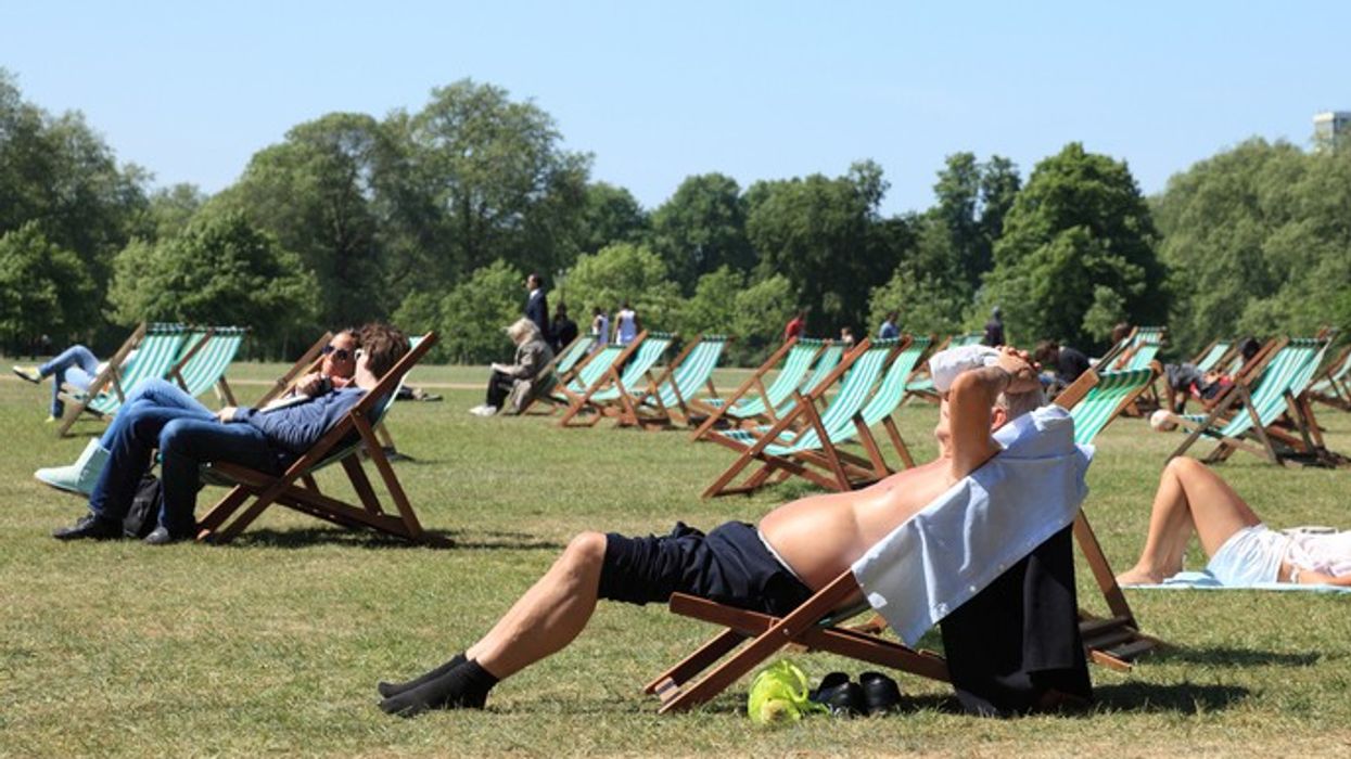
The UK could experience its third heatwave in a month by mid-July, the Met Office has said. Forecasters expect rising heat and humidity during the second weekend of July, following two weekends of unusually warm weather in late June.
June was officially the hottest on record in England, and the return of high temperatures could mean another heatwave for parts of the country. However, the Met Office cautioned that it is too early to confirm how hot conditions will get.
Heatwave thresholds and forecast temperatures
A heatwave in the UK is defined as three consecutive days with daytime temperatures meeting or exceeding set thresholds of 25°C in the west and north, and 28°C in London and surrounding counties.
According to Met Office meteorologist Zoe Hutin, “Whilst it is difficult this far ahead to determine exactly how hot things could get next week and weekend, there is the potential that some parts of the country could reach heatwave criteria.”
Early forecasts show that temperatures in the south east may rise to the high 20s on 9 July and could reach the low 30s on 10 July.
High pressure building over the south
The likely heat is being driven by a high-pressure system developing from the west, which is expected to extend across southern parts of the UK. This system may draw in warm air from the Atlantic and the Azores, increasing the chances of another period of hot, settled weather.
“Most likely it will be the south and east that see prolonged heat and thus could have another heatwave,” Ms Hutin said. “But it is too soon to say exactly how high temperatures could get.”
Cooler and wetter spell before the heat
In the meantime, cooler weather is expected across the UK this weekend and early next week. Cloudy skies and rain will affect western areas in particular, with temperatures forecast to drop slightly.
The south east is expected to reach 25°C on Saturday (6 July), followed by 24°C on Sunday and 23°C on Monday. Drizzly outbreaks are likely on Saturday, with showers expected on Sunday, especially in the east.
Rain warnings and flood alerts
A yellow weather warning for rain remains in place until Saturday afternoon across parts of Scotland, including Argyll and Bute, the south Highlands, Mull and Skye. Up to 60mm of rain is expected, with more than 100mm possible in mountainous areas.
The Environment Agency has issued flood alerts in Cumbria, including for rivers such as the Duddon, Crake and Mill Beck, following heavy rainfall on Friday. Meanwhile, the Scottish Environment Protection Agency (SEPA) has issued six flood alerts for areas including Argyll and Bute, Ayrshire and Arran, Easter Ross and Great Glen, Skye and Lochaber, west central Scotland and Wester Ross.