
Key points
- UK's second heatwave of 2025 ends with cooler temperatures setting in.
- Tuesday recorded the year’s highest temperature at 34.7°C in London.
- No return to heatwave conditions forecast for early July.
- Showers expected in parts of Scotland and Northern Ireland, with drier weather ahead.
UK heatwave fades as cooler weather returns
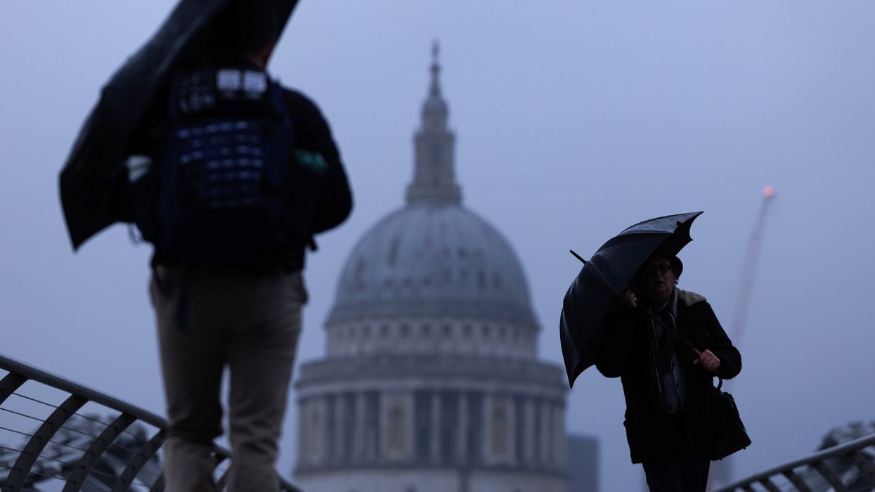
Following a stretch of record-breaking heat, the UK has now entered a cooler phase, with no heatwave conditions forecast for the first half of July. This change comes after Tuesday became the hottest day of the year so far, with 34.7°C recorded in London’s St James’s Park.
However, the high temperatures that marked the start of July have now given way to more comfortable conditions. In many parts of the country, temperatures have dropped by more than 10°C, bringing relief from the extreme heat.
Temperature outlook across the UK
On Wednesday, temperatures ranged between 16°C and 26°C from north to south, with cooler, fresher nights expected. Over the next week, Scotland and Northern Ireland will see daytime highs in the mid to high teens, while England and Wales can expect low to mid-20s.
Friday is likely to be the warmest day in the near forecast, with 27°C or 28°C predicted in the far south-east. Despite this brief warm spell, meteorologists have confirmed that there is no indication of another heatwave during the first two weeks of July.
Rainfall expected after dry spell
After one of the driest springs on record and a similarly dry start to summer, some rainfall is forecast over the next five days, particularly in north-western parts of the British Isles.
Areas already affected by drought, including Yorkshire and North-west England, are under close monitoring. The Environment Agency reports that two-thirds of England’s rivers currently have flow levels classified as below normal or lower for this time of year.
Regions such as eastern Scotland and parts of Wales are also experiencing low water levels. Showers are expected to arrive on Thursday and Friday, mainly across Scotland and Northern Ireland.
Unsettled weekend ahead
Forecasts indicate that the weekend will be unsettled, with unpredictable showers across the UK. However, early signs suggest that higher pressure may build again during the second week of July, reducing the chances of rain and bringing more stable conditions.
Recap of 2025’s second heatwave
This week’s hot spell marked the second official heatwave in the UK for 2025. It lasted six days in Yorkshire and the Humber, and five days in central and eastern England.
An official heatwave is recorded when a region meets specific temperature thresholds for three consecutive days, which range from 25°C to 28°C depending on location.
The recent high temperatures were driven by a large area of high pressure stalled over Europe, sometimes referred to as a “heat dome.” Scientists continue to warn that climate change is making UK heatwaves more frequent and more intense, with such events expected to become increasingly common in future years.