
Highlights
- Over 170 schools closed in Northern Ireland with more than 20 shut in Norfolk due to frozen pipes and dangerous conditions.
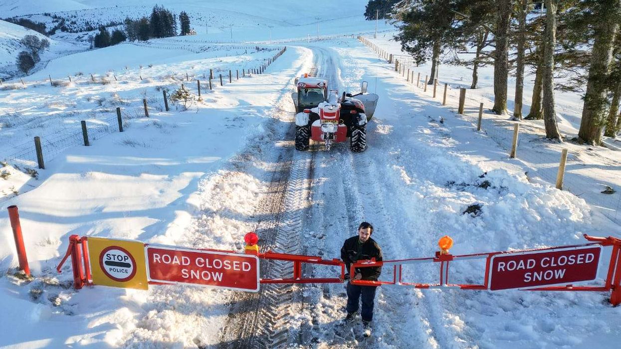
- Amber warning in northern Scotland until Tuesday evening with up to 15cm snow expected; yellow alerts cover large UK areas.
- South-east and central England face potential disruptive snow Thursday-Friday as Arctic conditions persist through the week.
Widespread school closures and transport disruptions continue across parts of the United Kingdom as Arctic conditions grip the nation, with meteorologists warning that southern regions yet to experience significant snowfall could face disruptive weather later this week.
The Met Office has maintained amber snow warnings for parts of Scotland until 19:00 GMT Tuesday, while yellow warnings covering large swathes of the UK remain in effect until late morning.
More than 170 schools across Northern Ireland closed on Tuesday, while Norfolk has seen over 20 institutions affected by dangerous road conditions, frozen pipes and heating failures.
Temperatures plummeted to -10C in Marham overnight, according to the Met Office.
The Bridge Easton School near Norwich remained closed for a second consecutive day, while Reedham Primary and Nursery School announced closures until Thursday due to heating issues. Some schools have transitioned to online lessons where possible.
Transport networks have experienced significant disruption, with LNER advising passengers not to travel between Edinburgh and Aberdeen until 14:00 GMT Tuesday.
Network Rail Scotland warned of "exceptionally deep snow" hampering snow plough operations, while CalMac Ferries reported disruptions on Scotland's west coast throughout Tuesday.
Liverpool John Lennon Airport temporarily grounded flights Monday after runway closures due to snow and ice.
More snow possible
The Met Office has issued a concerning forecast for south-east and central England, areas largely spared thus far warning of potentially disruptive snow on Thursday and Friday.
Central and northern Scotland are forecast to receive 5-10cm of heavy snow, with some areas potentially seeing up to 15cm, prompting authorities to advise residents not to drive and prepare for possible power cuts.
Forecaster Aidan McGivern indicated uncertainty regarding an approaching Atlantic system, with possibilities ranging from widespread wind and rain to significant snowfall depending on the system's trajectory.
The UK Health Security Agency has issued amber cold health alerts for England running until Friday, while the government's cold weather payment scheme has been triggered across 451 postcodes.
Eligible households on certain benefits will automatically receive £25 when temperatures reach 0C or below for seven consecutive days.