
Highlights
- Yellow thunderstorm warning in place today from 10am to 9pm
- Areas affected include London, Bristol, Oxford, Kent and Southampton
- Up to 60mm of rain expected in some locations within two hours
- Risk of flash flooding, power cuts, and travel disruptions
- Met Office advises preparation and securing of outdoor items
A yellow weather warning for thunderstorms has been issued by the Met Office, with central and southern England bracing for heavy rain, lightning, and possible hail throughout Thursday. The warning, in effect from 10am to 9pm, covers cities and towns including London, Bristol, Oxford, Southampton, Kent, and Ipswich.
Forecasters have warned of the potential for flash flooding, power outages, and significant disruption to road and rail transport. Some areas could see as much as 60mm of rainfall in just two hours.
Widespread impact expected across southern counties
Met Office meteorologist Clare Nasir explained that the stormy conditions are being driven by a weather front moving in from the Republic of Ireland, bringing bands of cloud and intense showers. "A thunderstorm warning has been issued for southern counties of England… bringing more clouds, some showery bursts of rain turning heavy and thundery, with lightning as well as hail," she said.
Fine weather further north
While the south contends with turbulent conditions, parts of the north are likely to enjoy more settled weather. Sunshine is forecast for Northern Ireland, western Scotland, and parts of Wales by Thursday afternoon.
The thunderstorm activity is expected to ease by Friday morning, although further heavy showers could affect the East of England and parts of Scotland later in the day.
Weekend outlook: brief respite before more rain
Saturday is forecast to remain mostly dry with only a minimal chance of showers across the country. However, by Sunday, heavy rain may return, particularly in north-western parts of England.
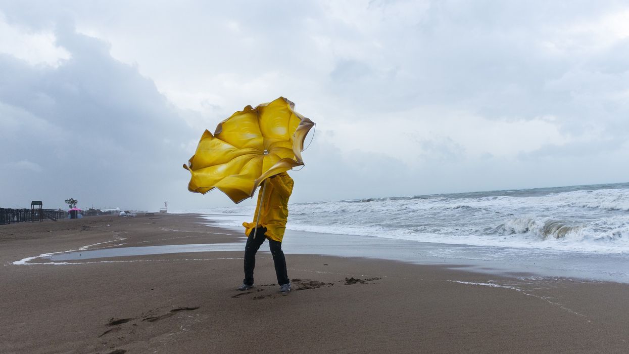
In the meantime, the Met Office has advised residents in affected areas to prepare emergency flood kits and to secure any movable outdoor items ahead of strong winds and intense rainfall.