
Highlights
- Sixth named storm of the season, and first since January
- Wind gusts could reach 85mph in parts of Scotland
- Storm expected to hit Monday, exact track still uncertain
- Risk of power disruption, fallen trees and structural damage
- Summer storms not unprecedented, but their impact can be greater
What to Expect from Storm Floris
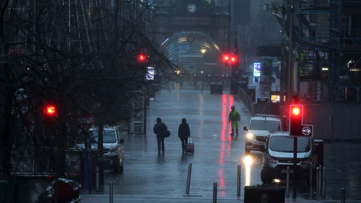
The Met Office has officially named Storm Floris, which is forecast to bring strong winds and heavy rainfall to much of the UK on Monday. This will be the sixth named storm of the season, and the first since January.
Early projections indicate that the centre of the low-pressure system will track across the northern half of the UK, while the most disruptive winds are expected to develop on the southern and western flanks.
Forecasted Wind Speeds
- Northern coasts and hills may see gusts between 60 and 70mph, with up to 85mph possible along exposed areas of Scotland’s coastline.
- Inland areas across the warning zone could experience gusts of 40-50mph.
- Even southern regions might see winds reaching 40-45mph.
The storm is currently evolving from a band of showers over the Great Lakes region of the United States. As it moves into the Atlantic, it is expected to intensify rapidly due to the influence of a powerful jet stream, resulting in a sharp drop in pressure before arriving over the UK.
Timing and Uncertainty
Though Storm Floris is forecast for Monday, the exact track of the system remains uncertain. The severity and regional impact will depend heavily on its final trajectory. The Met Office advises the public to stay updated with the latest forecasts over the weekend.
Potential Disruption
If forecasts hold, Storm Floris could lead to significant travel disruption, particularly for road, rail, and air travel. Additional risks include:
- Fallen trees and broken branches, due to trees being in full summer leaf
- Damage to temporary summer structures, such as tents and marquees
- Power outages and minor structural damage
- Localised flooding in areas affected by heavy rain
How Common Are Summer Storms?
While such low-pressure systems are more typical in autumn and winter, named storms during the summer months are not unusual.
- In August 2023, Storm Lilian led to the closure of Leeds Festival stages and flight cancellations at Heathrow.
- That same month, Storm Antoni caused windy, wet conditions in south Wales and south-west England, impacting Pride events in Brighton and Plymouth.
- Storm Betty followed less than two weeks later, causing further disruption.
- In 2020, two significant August storms—Ellen and Francis—brought gusts exceeding 80mph, causing widespread transport issues, coastal flooding, and power cuts.
Stay Prepared
Residents are advised to check local weather alerts, secure loose outdoor items, and plan travel accordingly. The Met Office will continue to monitor developments and issue further warnings as needed.
Would you like a short social media caption or push notification summary for this too?