
Highlights:
- Met Office issues yellow warning from 8pm Sunday to 6pm Monday
- Winds could reach 70–80mph in the most exposed coastal areas
- Travel disruption and risk of falling debris expected
- Residents urged to secure outdoor items ahead of stormy conditions
Strong winds expected across southern and western UK
The Met Office has issued a yellow weather warning ahead of the weekend, with winds of up to 80mph forecast to affect large parts of the UK. The alert will be in place from 8pm on Sunday until 6pm on Monday.
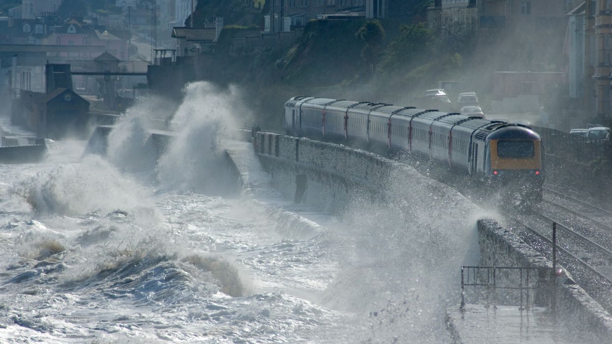
The warning covers much of west and southwest England and Wales, along with the entire southern coast of England. It also extends up the west coast towards Manchester. Gusts of 60mph are likely inland, rising to 70–80mph in exposed coastal areas and hilltops.
Monday morning peak
Forecasters expect the strongest winds on Monday morning, gradually moving east during the day. The Met Office has warned of delays to transport and the potential for injuries or danger to life from falling debris.
Residents in affected areas are advised to prepare by securing garden furniture, sheds, bins and other loose items.
Weather outlook before the storm
Before the weekend, Thursday will bring wind and rain to northwest Scotland, with a mix of sunshine and blustery showers elsewhere. Some showers may be heavy, with hail and thunder possible in western regions.
Friday is expected to remain breezy, with overnight showers along western coasts. Saturday could bring heavier downpours and isolated thunderstorms, alongside stronger winds and coastal gales.
Cooler but drier in the east
Eastern parts of the UK are likely to see brighter and drier spells, though temperatures will stay on the cooler side. London can expect highs of around 17–18°C across both Saturday and Sunday.
Forecasters monitoring Atlantic low pressure
Paul Gundersen, chief meteorologist at the Met Office, said:
“We have been monitoring a deepening area of low pressure over the North Atlantic that might bring impactful weather to the UK, most likely on Sunday and Monday. At present, a named storm is unlikely.”