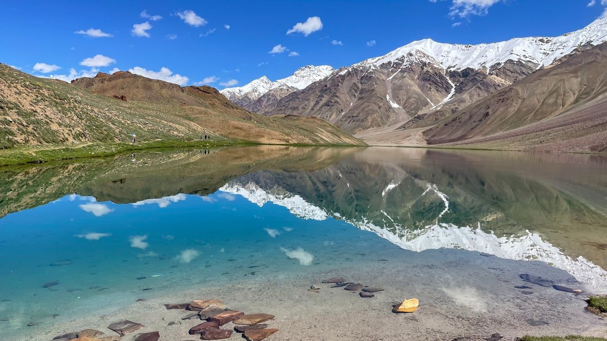

According to the Indian Space Research Organisation (ISRO), there has been a significant expansion in more than 27 per cent of the identified glacial lakes in the Himalayas since 1984, with 130 of them located in India.
Long-term satellite imagery spanning from 1984 to 2023 revealed notable changes in the catchments of Indian Himalayan river basins.
"Of the 2,431 lakes larger than 10 hectares identified during 2016-17, 676 glacial lakes have notably expanded since 1984," stated ISRO. Among these, 601 lakes have expanded more than twice, while 10 lakes have grown between 1.5 to two times, and 65 lakes have expanded 1.5 times.
Out of the 676 expanding lakes, 130 are within India, with 65, seven, and 58 located in the Indus, Ganga, and the Brahmaputra river basins, respectively. An elevation-based analysis revealed that 314 lakes are situated in the 4,000-5,000-meter range, and 296 are above 5,000 metres.
Glacial lakes are categorised based on their formation process into four broad categories: moraine-dammed, ice-dammed, erosion, and other glacial lakes. The majority of the expanding lakes are moraine-dammed, followed by erosion, other, and ice-dammed glacial lakes.
One highlighted case is the Ghepang Ghat glacial lake in the Indus basin, located at an elevation of 4,068 metres in Himachal Pradesh. It showed a 178 per cent increase in size from 36.49 hectares to 101.30 hectares between 1989 and 2022, with an average annual rate of increase of about 1.96 hectares per year.
This expansion in glacial lakes underscores the sensitivity of the Himalayas to changes in the global climate. Glaciers across the globe have been retreating at unprecedented rates due to human-caused climate change, leading to the formation and enlargement of glacial lakes in the Himalayan region.
While these lakes serve as crucial freshwater sources, they also pose significant risks such as Glacial Lake Outburst Floods (GLOFs), which can have devastating consequences for downstream communities.
Satellite remote sensing technology plays a vital role in monitoring and studying the occurrence and expansion of glacial lakes in the Himalayan region.
It enables inventory and monitoring despite the challenging and rugged terrain, providing valuable insights into glacier retreat rates, GLOF risks, and the impacts of climate change.
(PTI)