
Highlights
- An amber thunderstorm warning is in place for parts of south-east and eastern England from 04:00 to 11:00 on Saturday
- Rainfall could reach up to 100mm in a few hours, risking flash flooding and widespread disruption
- Frequent lightning, large hail, and gusty winds are expected, affecting travel and infrastructure
- Yellow warnings remain across England and Scotland throughout the weekend
- Soil dryness from recent heatwaves increases risk of surface runoff and flooding
- Hosepipe bans remain unaffected due to limited groundwater recharge
Met Office issues amber warning ahead of torrential rain and storms
The Met Office has issued an amber weather warning for thunderstorms on Saturday morning, covering parts of south-east and eastern England. The warning is in effect from 04:00 to 11:00, with accompanying yellow alerts stretching across much of England and Scotland.
The warning highlights the potential for torrential rainfall, with 20–40mm expected in just an hour and isolated areas seeing up to 100mm within a few hours—more than a month’s worth of rain. This is likely to result in flash flooding, transport delays, and other significant disruption.
Where will be worst affected?
The most intense rainfall is forecast to move into central southern England, south-east England, and parts of the Midlands overnight on Friday. The system is expected to push into northern England and Scotland by Saturday.
Rainfall in northern Scotland could become slow-moving by Sunday, increasing the risk of localised flooding. Further downpours and thunderstorms are likely into Sunday and Monday as a low-pressure system establishes itself over the UK.
What other risks are expected?
In addition to heavy rainfall, affected areas may experience:
- Frequent lightning
- Large hailstones
- Gusty winds
These hazards could bring delays or cancellations to road, rail, and air transport, and increase the risk of power outages.
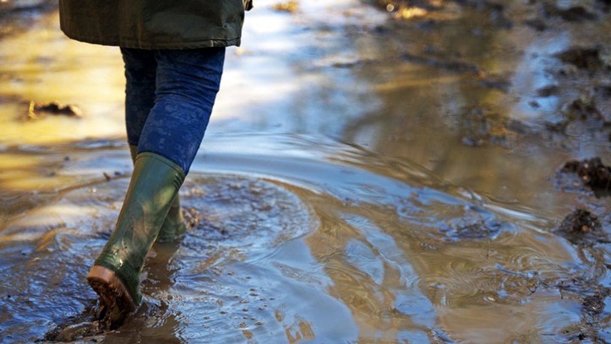
Why dry ground could make flooding worse
The recent spate of summer heatwaves has left soils particularly dry across England and east Wales. According to meteorologists, baked ground struggles to absorb rain, especially when it falls quickly.
This causes water to run off the surface, dramatically increasing the likelihood of flash flooding, even from short bursts of rain.
Will the rain ease the drought or lift hosepipe bans?
Despite the severity of the rainfall, experts say it will not significantly impact current drought conditions. The Environment Agency reports that 2025 has seen the driest start to the year since 1976.
Much of the heavy rain will run off into rivers or out to sea, without effectively replenishing groundwater or reservoir levels. Additionally, water that does soak into the ground may be quickly taken up by plants and trees during this growing season.
As a result, hosepipe bans are expected to remain in place for the rest of the summer, potentially extending into early autumn. Only a sustained period of wet weather, typically seen in the autumn or winter months, would be enough to reverse the current water shortages.