
Highlights
- UK snow forecast points to possible flurries in north Wales and the Lake District
- London drops to –3C with freezing fog and an early-morning weather warning
- Brief sunshine follows before winds strengthen and showers return
- Heavy rain in western regions raises the risk of flooding
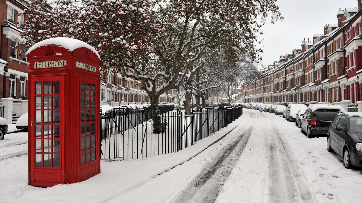
A sharp cold spell sets the stage
The UK snow forecast edges into focus as colder air settles across the country. London wakes on Friday to freezing fog and a biting –3C, while forecasters flag the chance of snow not in the capital, but in parts of the north and west.
ECMWF indicates that north Wales and the Lake District are the most likely to see wintry showers as the weather pattern shifts. The capital, meanwhile, starts cold and clear, but not snowy.
The Met Office issues a warning for parts of south London from midnight to 9 am due to the risk of ice and low visibility.
Sunshine gives way to a stormier turn
Friday: A brief bright window
After a murky start, London is expected to see sunshine break through by mid-morning. It’s a short-lived improvement. Forecasters expect conditions to turn unsettled later, with winds strengthening into the afternoon and evening.
Weekend: Showers build through Saturday and Sunday
Saturday brings scattered heavy showers across the capital. By Sunday, these showers become more frequent and persistent as another weather system moves in, keeping the cold, unsettled spell in place.
Forecasters warn of rain, wind, and possible flooding
Western regions face the heaviest impact
Chief meteorologist Matthew Lehnert says the UK heads into a period of unsettled weather through the weekend and into next week. After Friday’s icy start in the southeast, wind and rain spread steadily across the country.
He notes that the evening travel rush is likely to be difficult, with drivers advised to allow extra time.
Rainfall totals are highest over elevated areas in south Wales, southwest England, Cumbria, southwest Scotland, and Northern Ireland, with 20–30 mm expected in a six- to nine-hour window. With the ground already saturated, localised flooding and travel disruption are possible, particularly in western regions.